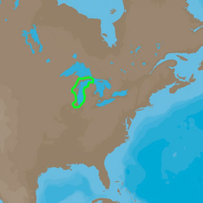
C-MAP 4D NA-D931 Lake Michigan
Ships: In 1 Business Day
The next evolution in navigation solutions. C-MAP 4D adapts to your boating
needs because it's the only digital chart that offers advanced features and
lets you add data and services as they become available.
Full 4D Content
When you choose Full 4D content you will experience the latest in navigation
data and technology such as:
- 3D Chart View - The world has three dimensions.
When you add the 4th dimension of time - meaning consistent, periodic
updates - you combine the most detailed 3D height and depth worldwide
database with a continuous update process to give you a personalized
navigation experience with up-to-date data for safe navigation. - High-Resolution Satellite Imagery - See the real world on your
screen.
C-MAP 4D includes a navigational perspective with high-resolution coastal
imagery overlaid on the most accurate and up-to-date vector data, plus
thousands of extraordinary photos for the most popular marinas and areas of
interest. - Digital Raster Charts - Innovate tradition.
With raster charts, you have an additional reference source for navigational
awareness. Get "at-a-glance" information using the nautical paper charts
overlaid on the multi-dimensional shaded relief to have a new visual
experience. - Easy Routing - Automatically create a route.
Enter start and end points along with specific boat parameters and
automatically receive waypoints of the shortest route; highlights potential
hazards and displays varying levels of alerts for each segment of the route,
allows you to manually adjust the route. - Guardian Alarm - An extra layer of safety.
When activated, Guardian Alarm performs an automatic forward-scanning check
for obstacles. Use the feature as an added backup to alert you should you
head toward a potentially harmful object. - Detailed NavAids
- Route Check
- Detailed Marina Charts
- C-Marina Ports Database
- Multi-Language Capability
- Dynamic Tides & Currents
- Photos & Diagrams
- Depths & Land Elevations
- Perspective View
4D cartography is compatible with the Furuno 1670F / 1870F, and Standard CPN 7000i, and CPN1010i units.
Please be aware that all products have a production or warehouse lead time. This is the number of business days (typically not including the day the product was ordered) that must pass before the item begins the shipping process. Please see the "Ships: In" information located within the main product description to the right of the product image and below the ADD TO CART button for that particular product's "Ships: In" timeframe.
IMPORTANT: Please note that these timeframes are estimates only based on the latest information provided to us by the manufacturer/supplier. Delays in both material, production and shipping timeframes by manufacturers can vary without advanced notice and while we do our best to keep "Ships: In" timeframes up to date we may not always be able to do so due to a variety of factors.
If a product is needed by a specific date we strongly recommend you reach out to our Sales team (1-800-869-1686) to verify shipping timeframes.
Canadian orders please add an additional 14 business days for processing and shipping. Alaska and Hawaii orders please add 1 additional warehouse processing day.
Click here to see our Standard Shipping Policy
 WARNING: Cancer and Reproductive Harm - www.P65Warnings.ca.gov.