C-MAP M-NA-Y212-MS US Lakes North Central REVEAL™ Inland Chart
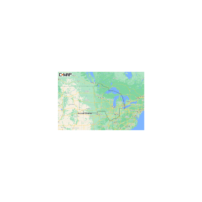
M-NA-Y212-MS US Lakes North Central REVEAL™ Inland Chart
Whether cruising or fishing or C-MAP® REVEAL™ Lakes charts offer the very best of C-MAP. With Shaded Relief, including Reveal Seafloor, Aerial Photography and Satellite Overlay presentation added to the core C-MAP features found in DISCOVER™ - full-featured Vector Charts, with Custom Depth Shading, Tides and Currents and Easy Routing. It also includes the very best of C-MAP High-Resolution Bathymetry, including integrated Genesis® data.
*Purchase includes a full 12 months of online updates.
**Compatible with Lowrance, Simrad and B and G Chartplotters.
Features:
- Shaded Relief - bring the world around you to life, with 3D rendered land and underwater elevation - a game-changer for anglers.
- Aerial Photography - a collection of thousands of photos of marinas, harbors, inlets and other notable navigational features included to offer an additional level of detail.
- Satellite Overlay - satellite imagery gives information about the surroundings when you find yourself in an unfamiliar place.
- Full-Featured Vector Charts - making navigation easy by giving you accurate, up-to-date vector chart detail derive from official Hydrographic Office information.
- Custom Depth Shading - set a clear safety depth, maintain a paper-like view or create your own custom shading.
- High-Resolution Bathymetry - HRB layer helps you identify shallow areas, drop-offs, ledges, holes or humps. Now includes compiled and quality-controlled Genesis detail as part of singular HRB layer.
- Easy Routing - helps you automatically plot the shortest, safest route based on detailed chart data and your personalized vessel information.
- Tides and Currents - shows projections of water level and direction of tides to help plan your day out, cruising, angling or sailing.
- Detailed Marina Port Plans - docking in an unfamiliar port is no problem when you have precise layouts of thousands of marinas, including slip spaces, restricted areas and other valuable navigation information.
- Harbor and Approach Details - an unprecedented level of detail. Approach any harbor and inlet with confidence. The perfect conclusion to a long voyage, sailing adventure or an exciting day of fishing.
- Online Updates - keep your chart up to date, with 12 months' free online updates.
Please be aware that all products have a production or warehouse lead time. This is the number of business days (typically not including the day the product was ordered) that must pass before the item begins the shipping process. Please see the "Ships: In" information located within the main product description to the right of the product image and below the ADD TO CART button for that particular product's "Ships: In" timeframe.
IMPORTANT: Please note that these timeframes are estimates only based on the latest information provided to us by the manufacturer/supplier. Delays in both material, production and shipping timeframes by manufacturers can vary without advanced notice and while we do our best to keep "Ships: In" timeframes up to date we may not always be able to do so due to a variety of factors.
If a product is needed by a specific date we strongly recommend you reach out to our Sales team (1-800-869-1686) to verify shipping timeframes.
Canadian orders please add an additional 14 business days for processing and shipping. Alaska and Hawaii orders please add 1 additional warehouse processing day.
Click here to see our Standard Shipping Policy
 WARNING: Cancer and Reproductive Harm - www.P65Warnings.ca.gov.