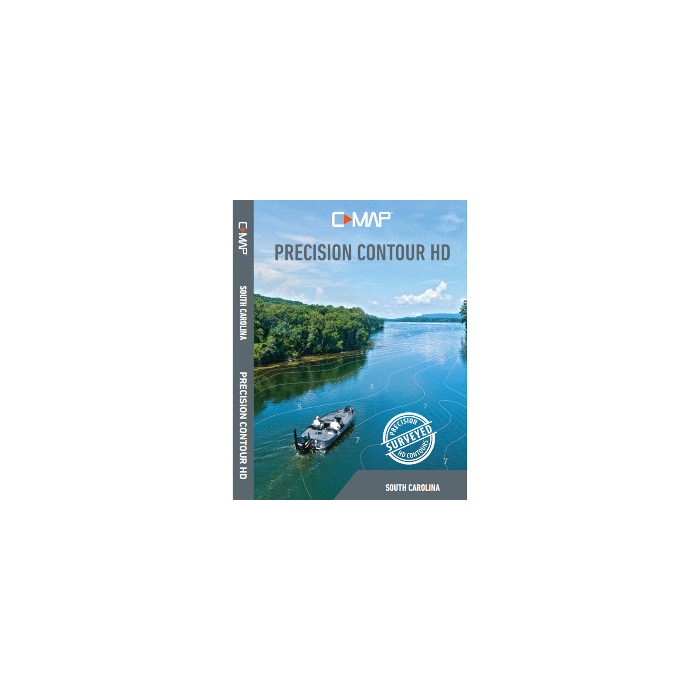
Lowrance C-MAP Precision Contour HD Chart - South Carolina
Precision Contour HD Chart - South Carolina
Precision Contour HD maps combine data from professional lake surveys, C-MAP Genesis Social Maps and traditional lake maps to deliver the most detailed statewide fishing maps.
Meticulously surveyed to 1-foot increments in shallow-draft boats by C-MAP's survey crew with innovative Genesis technology, C-MAP Precision Contour HD maps include the shallow backwaters and distant creek arms uncharted by other map providers.
Featuring highly-detailed 1-foot contours, high-resolution satellite imagery and C-MAP's one-of a-kind Custom Depth Shading, Precision Contour HD maps offer comprehensive coverage that includes key fish-holding bottom structure like humps, holes, reefs, shoals, drains, ditches, ledges and breaklines.
The following lakes were mapped by C-MAP's fleet of hydrographic surveyors for the South Carolina chart card.
- Hartwell
- Marion (Santee Cooper)
- Moultrie (Santee Cooper)
- Murray
- J Strom Thurmond (Clarks Hill)
- Wateree
- Wylie
The following waterbodies included in the South Carolina chart card feature high-definition, 1- foot-contour maps. These charts are sourced from C-MAP Genesis Social Map, governmental agencies and other cartography providers.
- Chestnut
- Fishburne Pond 1
- Fishburne Pond 2
- Payne Branch
- Waterbridge
Features:
- Survey-quality contour data - 1-foot contour coverage, visible even at wide zoom levels
- Custom depth shading - choose colors for specific depth ranges to highlight fishholding depths and/or hazard zones
- Points of Interest - includes traditional navigation information, C-MAP Navigation data, plus Fishing HotSpots waypoints and lakes-specific fishing tips and techniques
- High-resolution satellite imagery - used to locate man-made structure like boat docks. Available views include water and land, water only and land only.
- Preset depth shading palettes, including safety shading
- Includes fishing regulations, records and ID photos
- Compatible with most Lowrance®, Simrad® and B and G® chartplotters
- Free 1-year subscription to C-MAP Genesis Edge custom mapping service
Please be aware that all products have a production or warehouse lead time. This is the number of business days (typically not including the day the product was ordered) that must pass before the item begins the shipping process. Please see the "Ships: In" information located within the main product description to the right of the product image and below the ADD TO CART button for that particular product's "Ships: In" timeframe.
IMPORTANT: Please note that these timeframes are estimates only based on the latest information provided to us by the manufacturer/supplier. Delays in both material, production and shipping timeframes by manufacturers can vary without advanced notice and while we do our best to keep "Ships: In" timeframes up to date we may not always be able to do so due to a variety of factors.
If a product is needed by a specific date we strongly recommend you reach out to our Sales team (1-800-869-1686) to verify shipping timeframes.
Canadian orders please add an additional 14 business days for processing and shipping. Alaska and Hawaii orders please add 1 additional warehouse processing day.
Click here to see our Standard Shipping Policy
 WARNING: Cancer and Reproductive Harm - www.P65Warnings.ca.gov.

