I've got the Navionics. I only got it as a backup system but I've used it a couple of times now and it works pretty good. Don't ever rely on the depths being correct unless the body of water you're navigating is constant level or you're correcting with tidal charts. USGS only updates the Topo's about once every 20 years and that's the surface elevation that's used for the bathymetry. The good side of that is that were rolling through the 20 year mark right now and many maps are being updated.
FYI, no one is going to update their bathymetry more often because it would be nearly impossible to ever be current. So if that's something that makes a big difference to you then you might as well save your money.
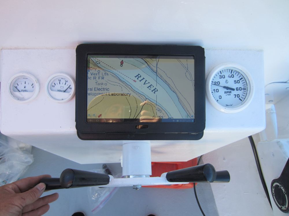
Here is MX mariner on my Galaxy 8.9 this past weekend . Accuracy is within 50 feet or so on the NOAA charts. SOG is displayed in the upper left. Since the screen is on all the time battery life is about 4 hours.
If you want something less nautical and showing more land features get Back Country Navigator