Fireman431
Rear Admiral
- Joined
- Sep 17, 2007
- Messages
- 4,292
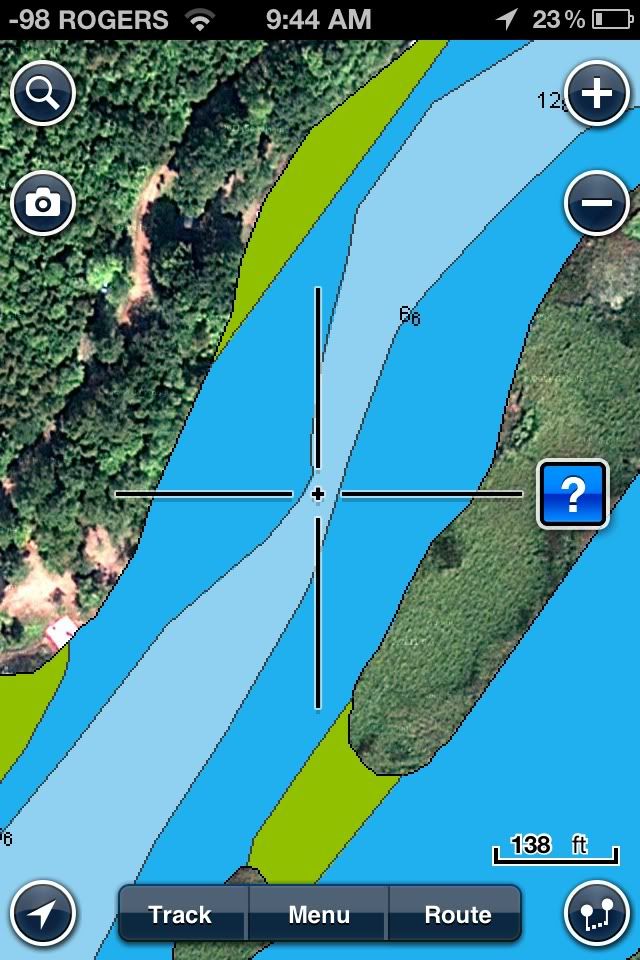
Re: Anyone Use Chartings Apps for iPhone/iPad?
There is that also...
Or you just jailbreak your phone, install Installous, and never pay for another app again.
There is that also...